Manasquan Inlet Surf Report & Forecast
Surf Report, Surf Forecast & Surf Cam


Nearby Spots
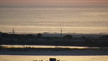


Current Surf Conditions
Condition Rating
Surf Height
1-2FT
Knee to thigh
Swell
Wind
6KTSWSW
10kts gusts, Offshore

Tide
Temperature
61°F

3/2mm wetsuit

North New Jersey Forecast
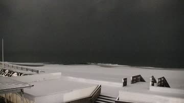
Tim Kent •Today
Old southerly swell fades but still offers a few decent little thigh high longboard waves early
Dawn to Midday: The surf looks down in size compared to Thursday but there should be a few rideable waves around as the tide drops through the morning. Lower your expectations and try to make the most of it with a big board.
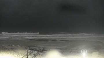
Afternoon Outlook: Loggable surf continues with small knee-thigh high waves on offer. Winds trend more SSW for increasing texture through the afternoon.
Manasquan Inlet Surf Forecast
LOTUS Model - our advanced surf forecasting system designed specifically for surfers...
Manasquan Inlet Surf Guide
Manasquan Inlet is the northern equivalent to Sebastian Inlet. With a similar jetty setup, waves bounce off the rocks and their power is corralled into a steep right wedge. But where Sebastian tends to lack distance, Manasquan can produce lengthy rides. One of the best-known breaks on the East Coast, the Inlet can take almost anything the Atlantic can dish out. With a SE swell, it can handle up to 20-foot faces with two fast, bowl-shaped peaks and the occasional quality left. It's often the only... Read more
Wind data provided by NOAA and its data providers. Liability of any kind arising from use of the data is disclaimed by the providers, including without limitation accuracy, reliability and fitness for a particular purpose.